The Myth of the Neat Region: Why Boundaries Can Be Fuzzy
Understand why region boundaries rarely line up, how physical, functional and cultural regions differ, and how to choose the map that fits your question.
The common mistake with region boundaries is to treat them as one permanent line. It makes a region seem more precise than it is, and can lead you to compare maps that answer different questions. A commuter region, a river basin and a cultural region may cover the same town while drawing very different edges.
A region is an area grouped by a shared feature or relationship. Its boundary marks where that grouping becomes less useful, not necessarily where the landscape changes abruptly. To read a regional map, ask what has been grouped, for what purpose and by what rule.
Purpose shapes edges
Some regions are defined by physical features, such as a mountain range or drainage basin. Others describe human patterns: commuting, language, trade or administration. Their boundaries need not coincide because the features themselves do not.
Even two maps of the same kind of region can differ. One commuter map might include places whose residents travel to a particular centre for work. Another might focus on where workers travel from, or set a different threshold for inclusion. Each choice changes the edge.
This does not make a map careless. A boundary is a tool for making a particular pattern visible. It becomes misleading when its purpose disappears and the outline is mistaken for a natural border that applies to every question.
Three kinds of region
Physical regions
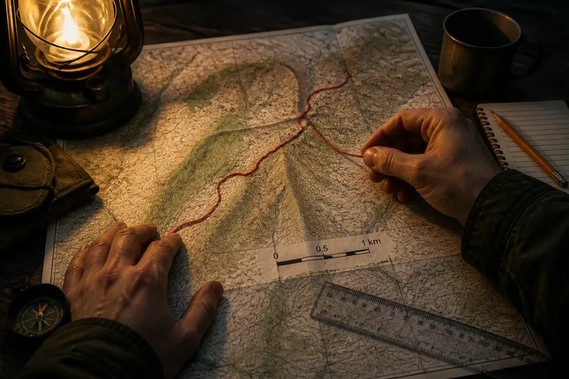
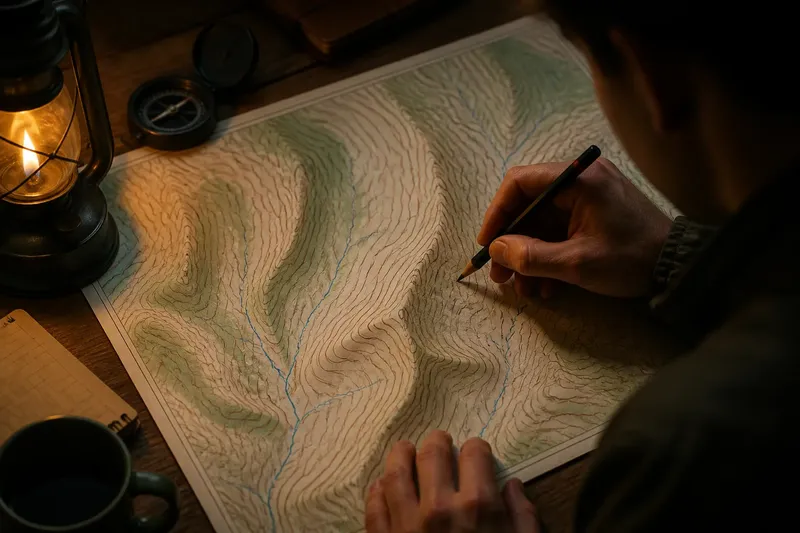
Physical regions group places by relief, climate, vegetation or drainage. A watershed is defined by the direction water flows, while a mountain region may be described by elevation and landform. Some physical edges are relatively legible on the ground; others grade into neighbouring terrain.
These regions suit questions about environmental processes and landscape character. Their boundaries still depend on the feature being mapped. A vegetation zone and a drainage basin may cross one another because plants respond to conditions that are not identical to the paths water takes.
Functional regions
Functional regions are organised around connections to a centre or along a network. A city’s service area, a transport corridor or a local labour market can be mapped this way. The edge is often a threshold: beyond it, relevant connections are judged weaker, less frequent or less central.
This approach suits questions about access, movement and service planning. A functional region can shift as routes, workplaces and services change. Its boundary describes a relationship at a particular time and under a particular definition, rather than a permanent feature of the land.
Cultural regions
Cultural regions group places by shared practices, identities, language or historical associations. Their borders are often gradual and overlapping. People may identify with more than one region, and a cultural trait may be common in one area without stopping neatly at its mapped edge.
This approach suits questions about belonging and cultural patterns, provided the map is read as a broad account rather than a verdict on individual residents. An outline can show a concentration or association, but it cannot tell you how every person in the area describes themselves.
Why boundaries diverge
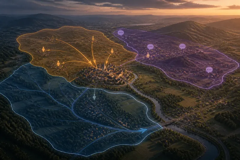
Imagine a fictional town called Alderbank. Its river-basin map includes several upstream settlements because their water drains towards the same outlet. A commuting map includes a different group of settlements whose residents travel to Alderbank for work. A cultural map includes nearby places linked by a local dialect, while leaving out a commuter settlement where that speech is less common.
All three maps can be useful. Their boundaries differ because water, travel and language follow different patterns. The mistake would be to call one outline Alderbank’s definitive region and use it to answer questions about all three relationships.
Edges also diverge because map-makers must choose what to include. A map may use an administrative unit as its smallest building block, even when the feature varies within it. Another may draw a smooth line around areas of stronger connection. The first is easier to compare with official records; the second may communicate the pattern more intuitively. Neither makes the boundary exact at every point.
Choosing region boundaries?
Which region suits a landscape question?
Choose a physical region defined by the process you want to understand. For water movement, a drainage basin is usually more relevant than a cultural area; for vegetation, look for a map that classifies plant cover or environmental conditions.
Which region suits a movement question?
Use a functional region built around the movement or service in question, such as commuting or access to a centre. Check which connection the map counts and how it decides that a place belongs inside the boundary.
Which region suits a question about identity?
Use a cultural region when the question concerns shared language, practice or affiliation. Read its edge as a broad pattern, not as a line that settles how a particular person identifies.
What if two maps disagree?
Compare what each map defines as a region, what information it groups and which threshold it uses. If those choices differ, the maps may describe separate patterns rather than contradict one another.
Read the map’s choices
Before relying on a regional outline, look for its title, legend and description. These can reveal whether the boundary represents a physical divide, a service area, an administrative unit or a measured pattern. If the map gives no explanation, treat the edge cautiously rather than supplying a meaning it has not stated.
- Shared feature: Check whether the region is grouped by terrain, movement, identity or another relationship. If the feature is named, decide whether it fits your question; if it is not, use a map with a stated basis.
- Mapping unit: Check whether the map uses whole towns, districts or smaller areas. If the unit is fine enough for your comparison, proceed; if it merges important differences, seek a more detailed map.
- Inclusion rule: Check whether the map states a threshold or other rule. If it does, judge whether that rule suits your purpose; if it does not, treat the edge as uncertain and avoid precise comparisons.
- Overlapping regions: Check whether a place can belong to more than one region at once. If overlap is possible, compare the separate relationships; if the map forces exclusive categories, note what that choice leaves out.
- Date and context: Check when the map was made and what conditions it describes. If the pattern is relatively stable for your question, use it with that context; if it depends on changing routes or services, look for a map that reflects the relevant period.
- Boundary style: Check whether the line follows a stated physical divide or smooths a gradual pattern. If the edge represents a clear divide, use it as such; if it simplifies a transition, avoid treating each bend as meaningful.
Say you are comparing access to a clinic in a fictional district called Merefield. You have a map that groups whole parishes, another that marks travel links to the clinic, and a legend that says nothing about how the second map sets its edge. First, you decide that access is the question, so the parish map is only useful for administrative context. Next, you use the travel-link map to identify the places connected to the clinic, but mark its unexplained boundary as uncertain. The resulting answer is that the travel map better fits the question, while the parish map shows who administers the area; neither alone settles access for every resident.
What is not worth the effort is tracing a supposedly exact border from a small-scale map and treating each bend as meaningful. The line may be a simplified display, especially where the underlying pattern changes gradually. The map’s definition matters more than the apparent sharpness of its ink.
Use boundaries with care
When regional maps overlap, ask what each helps you notice. A physical map can explain why settlements share a watershed; a functional map can show how people connect to a centre; a cultural map can suggest where a shared practice is more common. Comparing them can reveal relationships that a single outline would hide.
Region boundaries make sense in relation to the feature and question behind them. Choose the map that fits your purpose, and treat its edge as part of the explanation. A fuzzy boundary is not a defective region; it is often a reminder that places belong to several patterns at once.